Connecting the Physical and Digital World
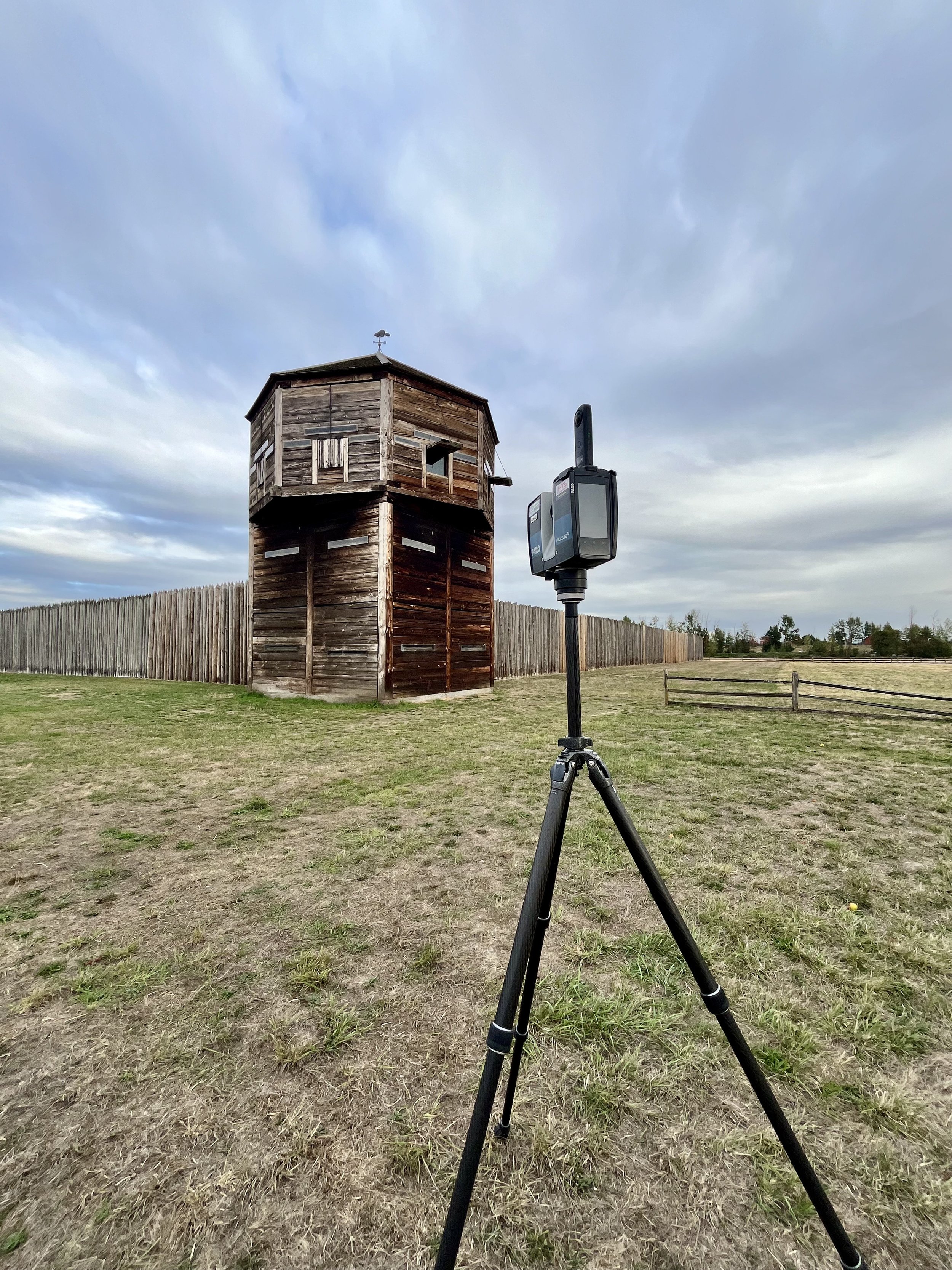
Norsk Remote Sensing utilizes advanced LiDAR (light detection and ranging) laser scanning technology alongside innovative Digital Twin technology to acquire highly accurate and remarkably detailed data of any subject or location.
The combination of laser scanning and photogrammetry is an ideal solution for creating intricate 3D models, providing immersive virtual tours, comprehensive digital archiving, supporting historical preservation efforts, aiding in research, monitoring construction projects, and so much more.


Highlighted projects
Laser scanning and photogrammetry are excellent methods for museums to expand public interest in their collections. By using videos and interactive 3D models, people who may never have the chance to visit can experience the collections in a more engaging way than traditional photographs allow.
This is the pilot boat Peacock, which played a vital role in ensuring the safety of the shipping industry on the Columbia River for decades. The boat is on display at the Columbia River Maritime Museum in Astoria, Oregon.
Visit https://www.crmm.org/ for more information about the museum and its extensive collection. I highly recommend everyone to visit. This is not a complete scan of the boat, but we hope to go back and scan the topside and interior for a full model.