3D LASER SCANNING / LiDAR
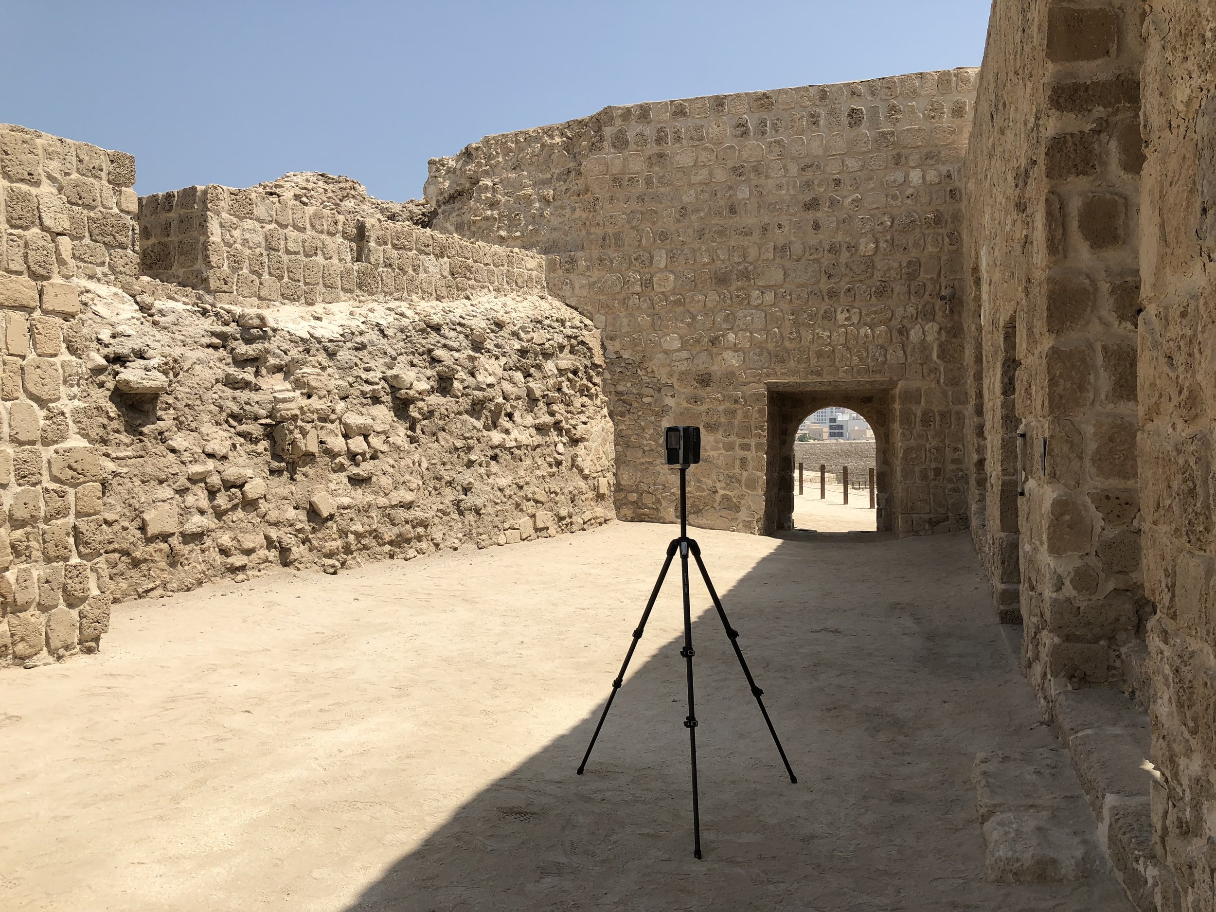
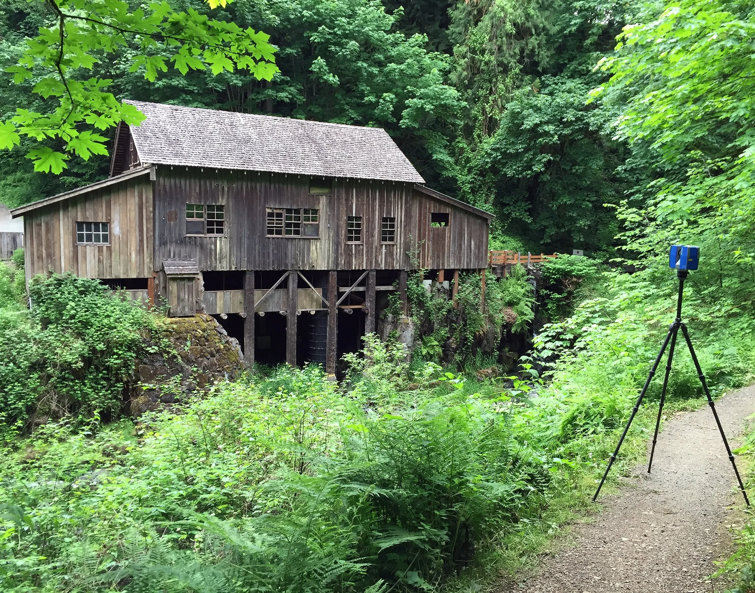
Norsk Remote Sensing expertly provides a wide variety of laser scanning services:
Historical Preservation
Construction As-Builds
Archaeology
3D Virtual Tours
Scan Data Processing
Mixed Reality & Video Gaming
Forensic Evidence Capture
Monitoring Services
Architectural Plan Sets
Scanner / Scan Software Training
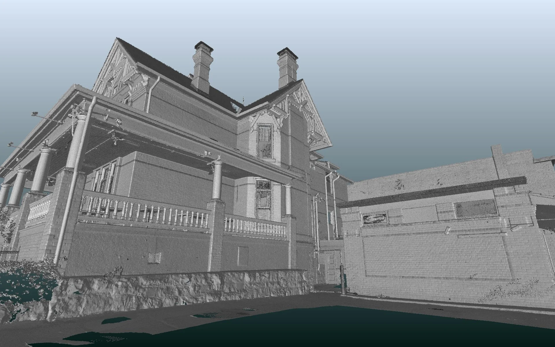
We offer a quick and accurate way to document properties with 3D visualizations and generated drawings for Architects, Engineers and Construction professionals. Our services provide a head start on architectural and construction floor plans as well as as-build and design drawings.
Increase productivity, save time and reduce costs.
• Take 1,000’s of measurements instantly for improved accuracy.
• A faster rate of capture: Measure properties in minutes, not hours.
• Speed of delivery: in most cases, less than 48 hours instead of 5-10 days.
• 2D drawings for less than half the cost of traditional methods.
• Virtually exploring accurate 2D and 3D layouts, to make decisions and easily operate in unfamiliar environments.
• Non-intrusive: normal operations can be maintained while scanning.
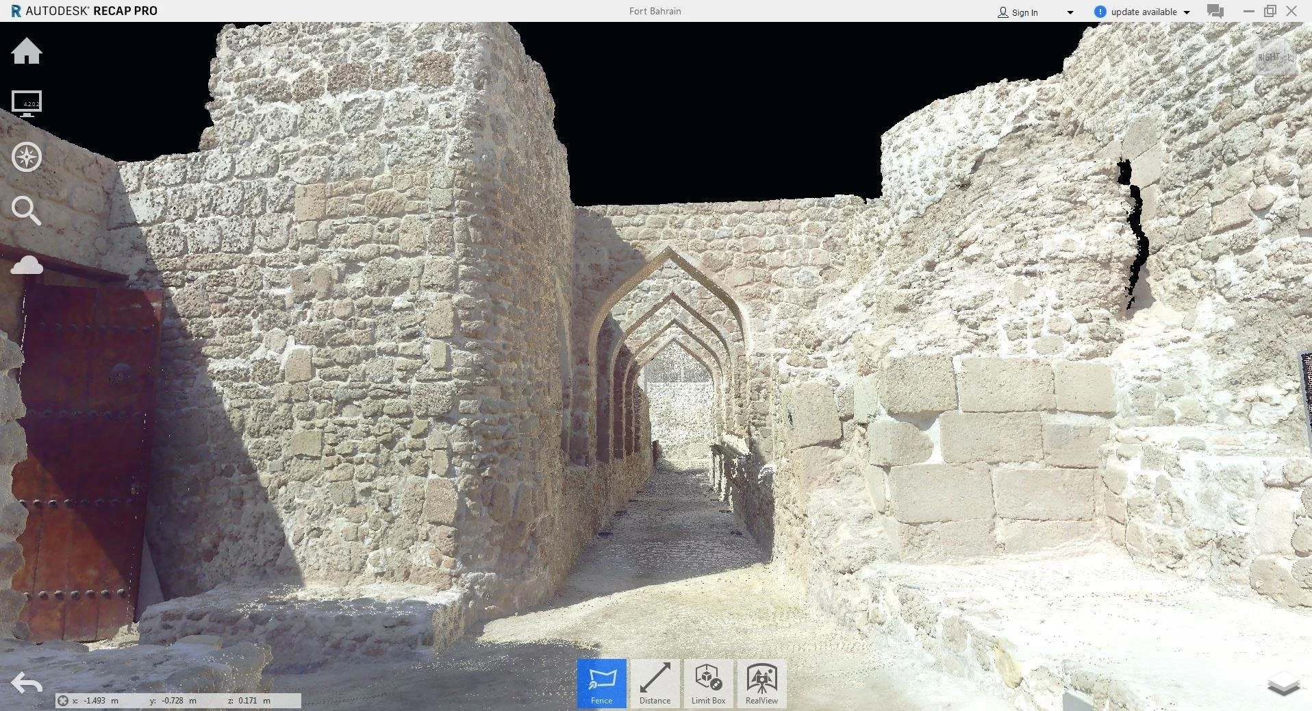
• Data is compatible with Autodesk products including Revit, ACAD, Recap, Civil3D, and Navisworks.
• Share details and conditions of a project without site visits, making collaboration on large projects easier.
• Planning for “what if” scenarios, new equipment, safety plans, and necessary upgrades and changes to the layout and configuration, etc.
• Multiple 2D and 3D CAD packages available including reflected ceiling and roof plan options.
LASER SCANNING VISUALIZATIONS
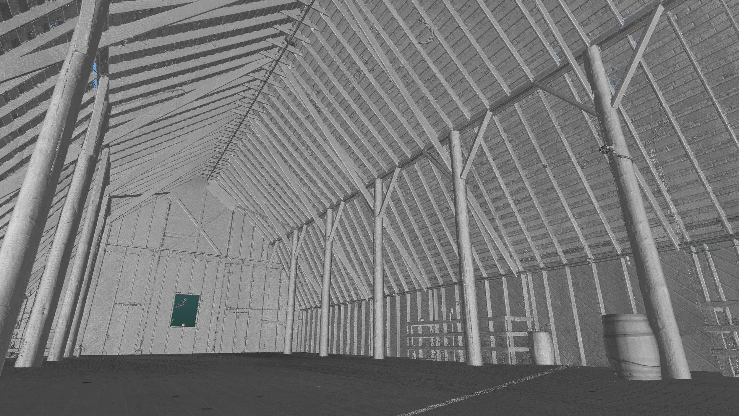
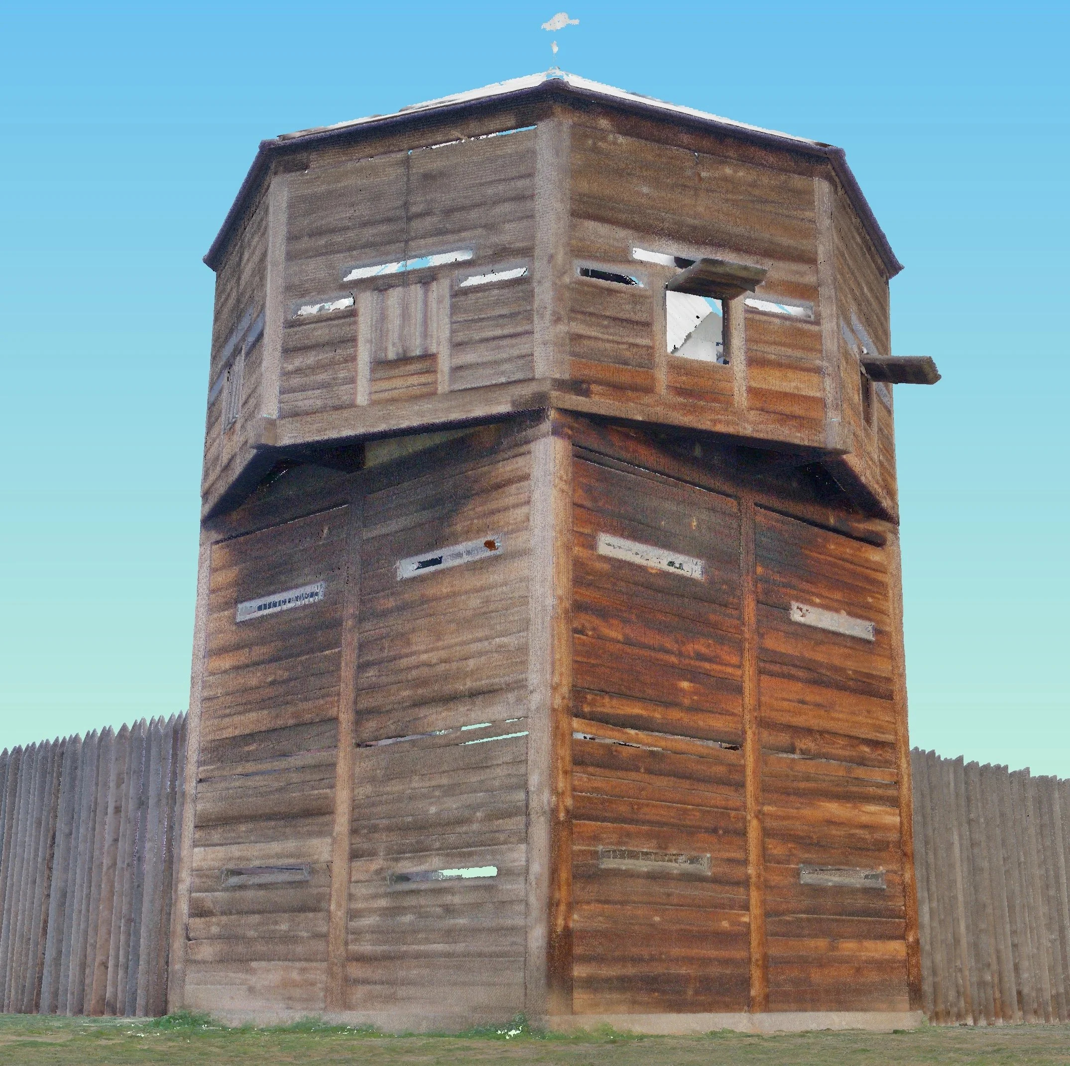
Fort Vancouver, Washington: Historical Site
Maritime Scanning: Westlake Survey Project for U of W.
